|
|
|
|
|
|
|
|
|
|
|
|
|
http://www.antholz.com/de/
http://www.antholz.com/en/
|
|
|
|
|
|
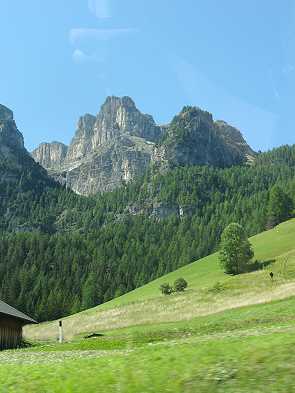
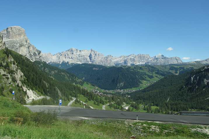
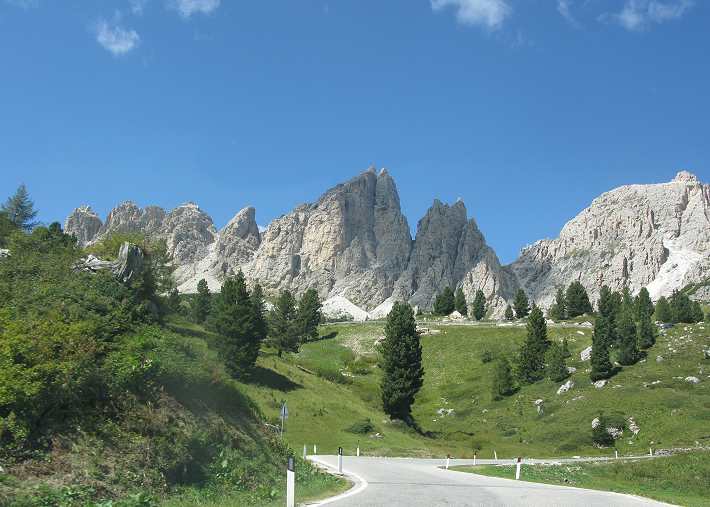
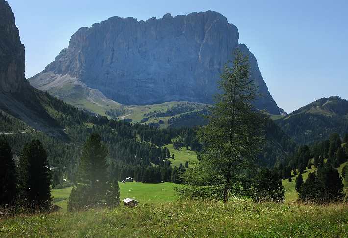
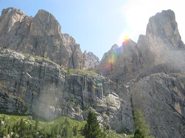
Dolomiten
- Weg zum Grödner Joch Dolomites
on the Way to Gröden pass |
http://de.wikipedia.org/wiki/Dolomiten http://en.wikipedia.org/wiki/Dolomites
|
|
|
|
|
|
|
|
|
|
|
(+ 30 Grad
tagsüber ) |
|
|
|
|
|
|
|
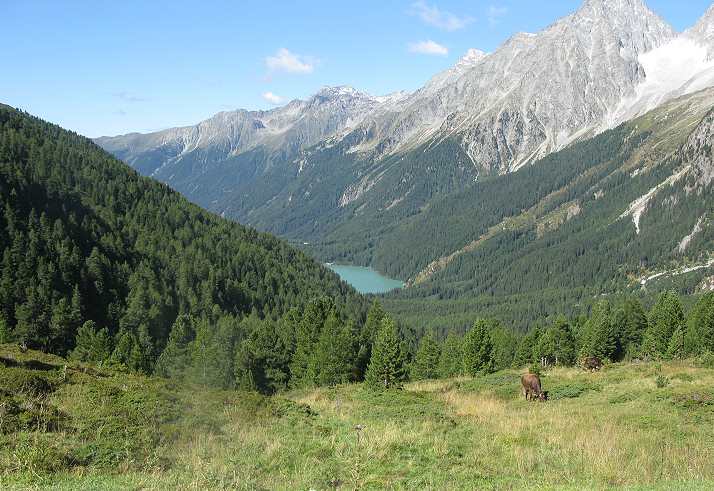
Aus Zeit- und
mangelnden Konditionsgründen war ein Klettersteig Anstieg auf den Hochgang zu
den Spronser Seen diesmal nicht drin.
Für die gesamte Rundtour benötigt man gute 8 Stunden, sehr gute Kondition und
noch bessere Trittsicherheit.
Because of time reasons
and a current lack of condition, I didn't do the upclimbing to the top and the
Spronser Lakes this time.
For the complete hike there are aprox. 8 hours required.
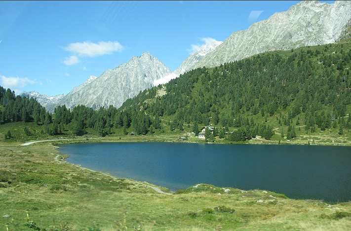
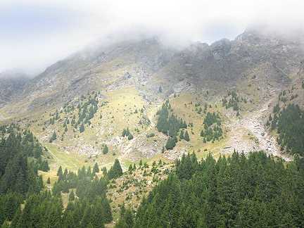
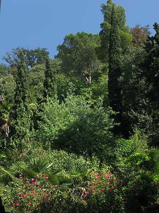
One of the most beautiful
and peaceful spots in the world
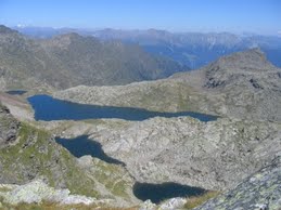
Die höchstgelegene Seenplatte der Alpen - die Spronser Seen auf 2589 m
Höhe
The highest situated lakes
of the alps in about 8.000 ft above sea level.
|
Tourenprofil: |
Touring
Profile |
|
|
|
|
|
|
|
|
|
|
|
|
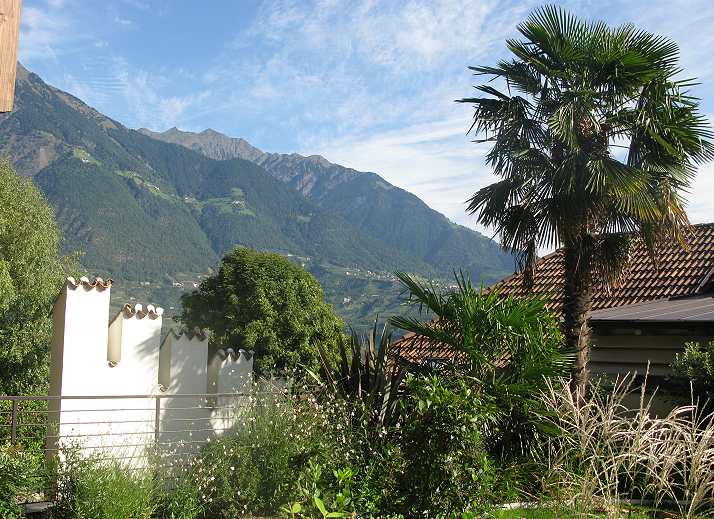
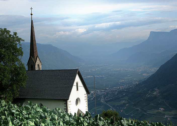
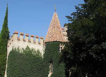
Meran
& (+ 25 C Grad again) |
|
|
|
|
|
|
|
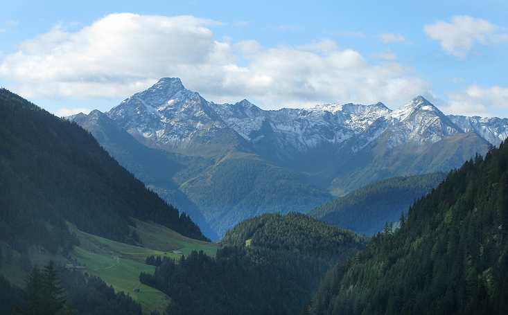
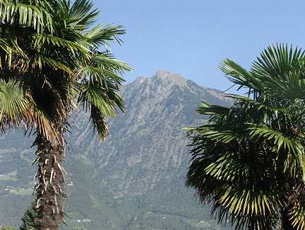
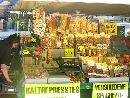
Möltental |
|
|
|
|
|
|
|
|
|
|
|
|
|
|
|
|
|
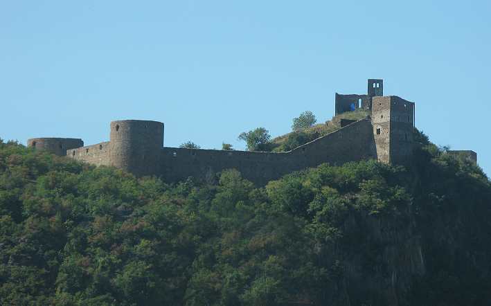
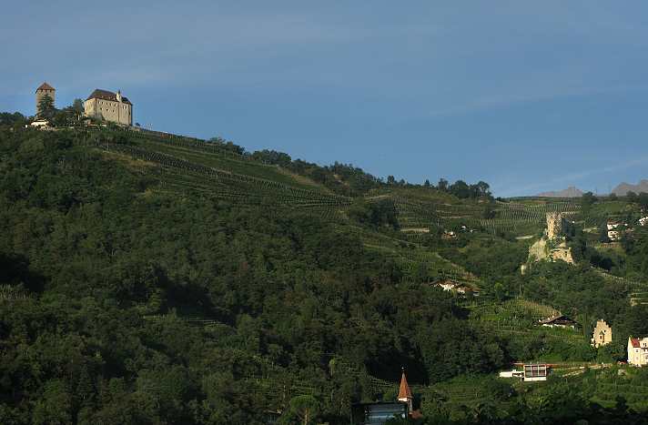
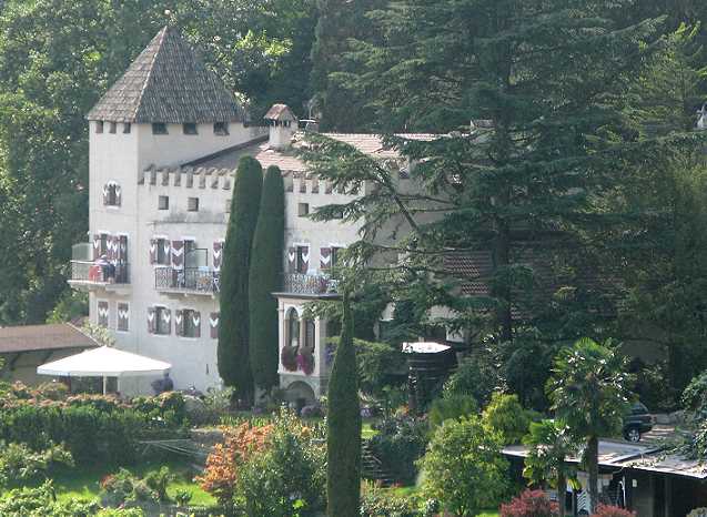
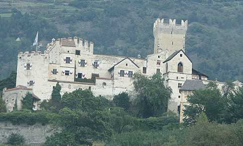
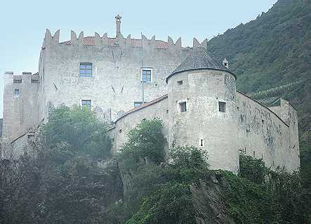
Churburg
b.Schluderns im Vinschgau |
|
|
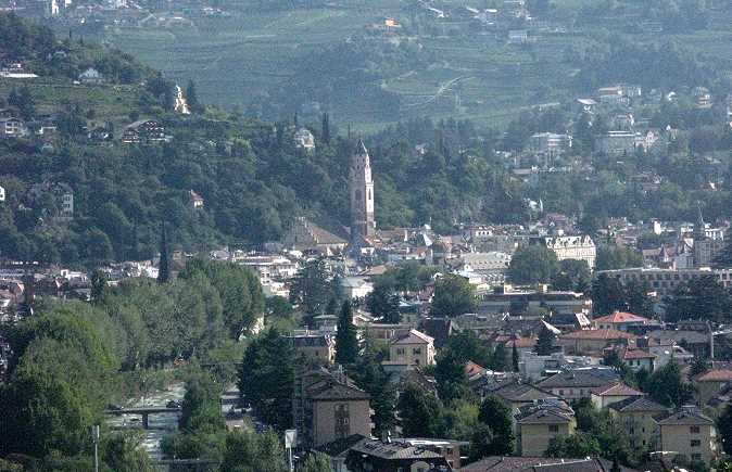
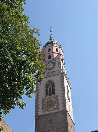
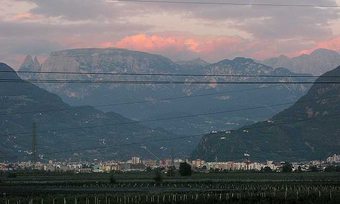
Bozen mit Schlern
Massiv
(engl)
im Hintergrund |
|
|
all Pics(c) by
ebl/musicmirror
....und wem das
immer noch nicht genug ist, der findet hier
noch etliche weitere Eindrücke aus
vergangenen Südtirol Trips - and
whoever wants more impressions of this beautiful corner of the world,
then please click here